
Travelling to City
Walking & Cycling
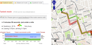
Cycle Streets Online journey planner
Walking and cycling can be cheap and efficient. Use the map above to find secure spots to park your own bike, or to locate the nearest London Cycle Hire scheme bike to rent for short journeys.
Cycling Links
- Cycle Streets online journey planner
- Santander Cycles - the Cycle Hire scheme.
Bus
TfL's interactive bus map
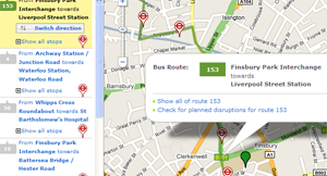
Many London bus lines pass close to City sites. Sometimes it's hard to know which one is best to choose, so here are some ways to help you.
Transport for London's interactive map can tell you "what buses can I catch here?" Try it with a location near you, and look for the route choices it offers
Printable local bus maps
Tube
Our part of London is well-served by the Northern Line (City branch), as well as the combination of the Circle/District/Metropolitan/Hammersmith & City lines, and by the Central Line.
Use the widget on the right to start planning your journey using TfL's journey planner.
Useful Links
Rail
You can check National Rail Enquiries' live departure boards for any UK station to see if trains are running on time – you’ll know if you have time for another coffee.
Useful Links
- National Rail's Train Tracker Service - useful to read on the run or if you are already on a train and maybe worried about connections and platforms
- National Rail Enquiries
- Trainline.com
Car
Northampton Square
Parking in the roads surrounding the Northampton Square site is at parking meters. The nearest National Car Park to Northampton Square is on Skinner Street, off St John Street.
Bayes Business School (Bunhill Row)
Parking in the roads surrounding Bunhill Row is at parking meters. The nearest National Car Parks to Bayes Business School are at Finsbury Square, Tabernacle Street, Clere Street and Paul Street.
Plane
Gatwick/Luton Airport
The Thameslink train service connects Gatwick and Luton airports directly with Farringdon Station. Trains run every 30 minutes and the journey takes about 45 minutes.
Heathrow Airport
Heathrow Airport is on the London underground system, on the Piccadilly Line, and the nearest underground stations for the University are reached by changing at Kings Cross St Pancras. The journey from Heathrow to Kings Cross St Pancras takes one hour.
For the Inns of Court School of Law you can take the Piccadilly line from Heathrow Airport directly to Holborn station.
London City Airport
From London City Airport, take the DLR to Bank and then change for the Northern Line. Express coach services also run to Liverpool Street station.
Stansted Airport
From Stansted Airport, take the Stansted Express to Liverpool Street station. Trains run every 15
minutes and the journey takes about 45 minutes.
Campus maps
Find City, University of London buildings and services including:
- City buildings
- Student services
- Computer rooms
- Libraries
- Lecture theatres
- Accommodation.
View the campus map or download CityNav.